|
Greetings from the Department of Natural Resources Atchafalaya Basin Program!
NEWS AND EVENTS:
|
News:
|

|
The Advocate: The Nature Conservancy buys Atchafalaya Basin land to improve water flow on the property and encourage research
|
| Times-Picayune: Seafood Watch removes Louisiana shrimp from 'avoid' list |
| LDWF: Advisory on Senate Bill 212 |
| Louisiana Sportsman: Duck numbers remain high, USFWS says |
The Advocate: Strong survey means another liberal season for waterfowlers
|
| LDWF: L.W.F.C. Sets 2015-2016 Early Migratory Bird Hunting Seasons |
| |
|
Save the Date:
|
| Atchafalaya Trace Commission Meeting, July 8 at 10 am at the Capitol Park Welcome Center in Baton Rouge |
Statewide Planning/Input Meeting for Long-Range Bicycle Map, July 9 at the Capitol Park Welcome Center, 900 North 3rd St. in
Baton Rouge |
| 10th Annual Quilt Show and Sale, July 11 from 10-2 at the Community Center, 216 Park Street |
| Paddle at Two O'clock Bayou, July 11, meet at Pack and Paddle in Lafayette at 8 am |
| Wood Stork & Wading Bird Feeding Event, July 18 from 7 am to 12 pm at the Sherburne Wildlife Management Area - South Farm |
| Bayou Grand Gueule Afternoon Paddle, July 19, meet at Pack and Paddle at 8 am |
| 2nd Annual Southwest Louisiana Attakapas Opelousas Prairie Tribe Festival, July 25 from 10 am to 5 pm at the Farmers Market Pavilion at 828 E. Landry St. in Opelousas |
|
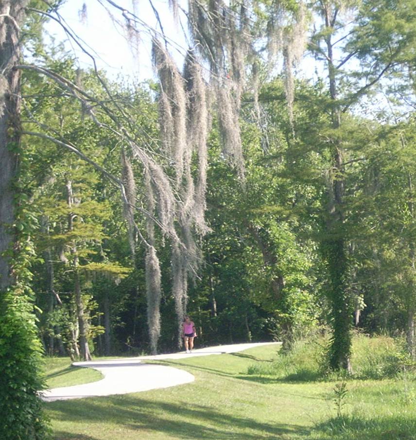
Send in your Basin Pics!
Let us know if you have an upcoming event to promote the Basin!
|
Checking the water:
The information below is obtained from the USGS and the U.S. Army Corps of Engineers, and has been compiled by DNR into this format to allow a quick look at information pertinent to the Atchafalaya Basin. Click here for current weather conditions and water levels.
Data is for 7/7/2015
ALL STAGE FORECASTS INCLUDE 24 HOURS OF FUTURE RAINFALL.
Ohio River at Cairo
Location: Southernmost gauge on the Ohio River in Illinois Reading significance - used to forecast rises on the Mississippi. Lag time, 4 to 6 days.
Flood Stage: 40'
Stage: 48.6'
24 hour change: +0.2'
Forecast: expect to FALL to 45.9' by 7/12
Mississippi River, just south of ORCS, at Red River Landing
Reading: Mississippi River south of ORCS, after the diversion into the Atchafalaya
Flood Stage: 48'
Stage: 53.4'
24 hour change: +0.1'
Forecast: expect to CREST at 55.5' on 7/18
Mississippi River at Baton Rouge
Flood Stage: 35'
Stage: 35.8'
24 hour change: +0.4'
Forecast: expect to CREST at 37.0' on 7/18
Mississippi River at New Orleans
Flood Stage: 17'
Stage: 13.9'
24 hour change: +0.1'
Forecast: expect to CREST at 15.5 on 7/19
Atchafalaya River, just south of ORCS, at Simmesport
Reading: The combined latitudinal flows of the Red, Black, Ouachita, and ORCS flow from the Mississippi
Flood Stage: 47'
Stage: 32.3'
Forecast: expect RISE to 33.5' by 7/12
Atchafalaya River at Melville
Flood Stage: 34'
Stage: 25.1'
Forecast: expect to RISE to 26.1' by 7/12
Atchafalaya River at Krotz Springs
Flood Stage: 29'
Stage: 22.4'
Forecast: expect to RISE to 23.2' by 7/12
Atchafalaya River above Butte Larose
Flood Stage: 20'
Stage: 16.1'
Forecast: expect to RISE to 16.5' by 7/12
Atchafalaya River at Bayou Sorrell Locks on the GIWW
Flood Stage: 12'
Stage: 8.8'
Forecast: expect to RISE to 9.1' by 7/12
Atchafalaya at Millet (Myette) Point
Flood Stage: 15'
Stage: 9.7'
Forecast: expect to RISE to 9.8' by 7/12
Atchafalaya River at Morgan City
Flood Stage: 6'
Stage: 5.7'
Forecast: expect to REMAIN at 5.7' through 7/12
Lower Grand River at Bayou Sorrel
Stage: 8.00'
Bayou Courtableau
Stage: 18.97'
Middle Fork, Bayou Long
Stage: 7.28'
Arm of Grand Lake near Crook Chene
Stage: 13.45'
Beau Bayou N. of Bayou Darby
Stage: 18.34'
Pontoon Bridge at Butte Larose
Stage: 11.45'
Lake Pelba at I-10, Henderson
Stage: 15.30'

|