|
Greetings from the Department of Natural Resources Atchafalaya Basin Program!
NEWS AND EVENTS
|
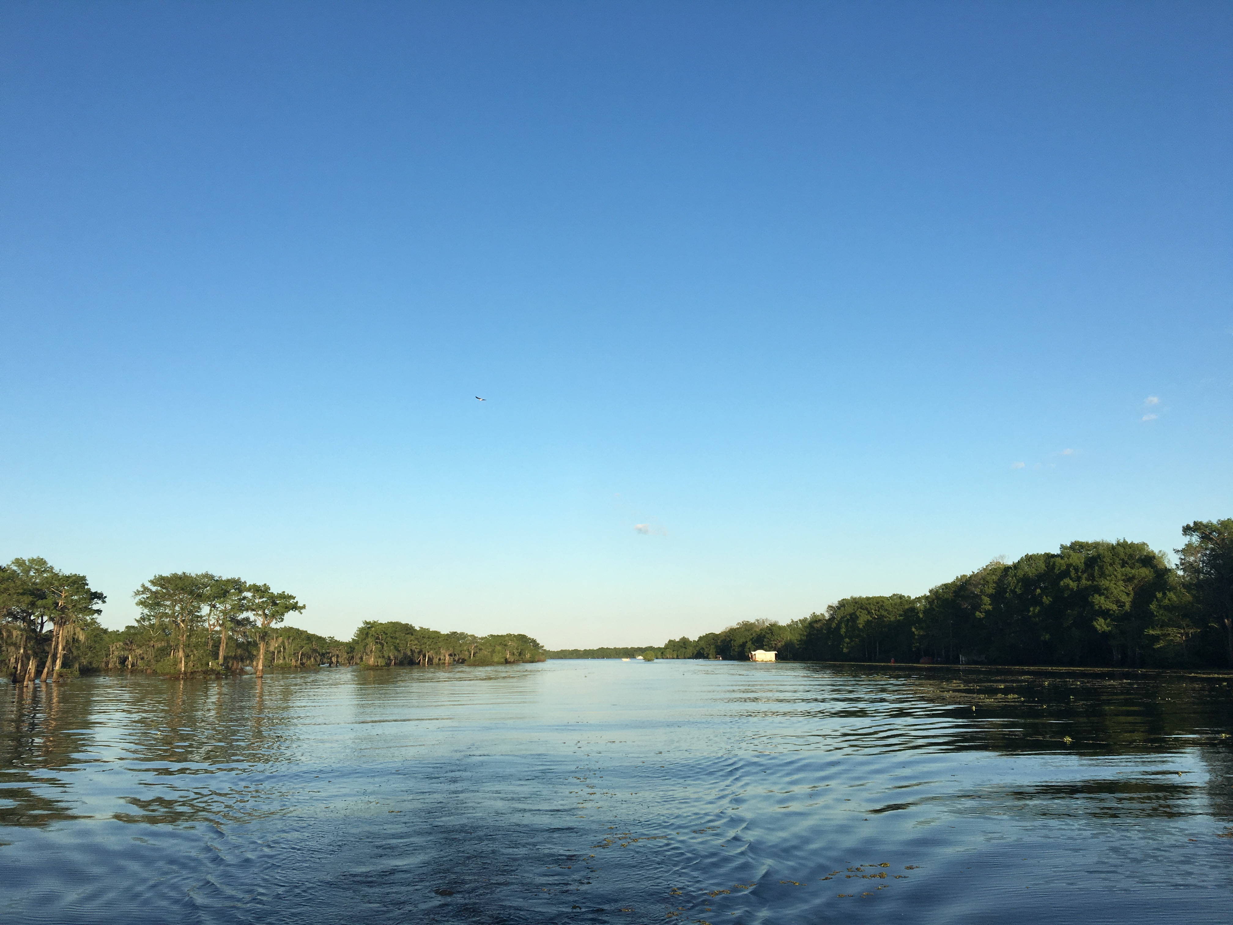
Send in your Basin Pics!
Let us know if you have an upcoming event to promote the Basin!
|
Checking the water:
The information below is obtained from the USGS and the U.S. Army Corps of Engineers, and has been compiled by DNR into this format to allow a quick look at information pertinent to the Atchafalaya Basin. Click here for current weather conditions and water levels.Data is for 5/6/2016
ALL STAGE FORECASTS INCLUDE 24 HOURS OF FUTURE RAINFALL.
Ohio River at Cairo
Location: Southernmost gauge on the Ohio River in Illinois Reading significance - used to forecast rises on the Mississippi. Lag time, 4 to 6 days.
Flood Stage: 40'
Stage: 34.6'
24 hour change: +0.9'
Forecast: expect to RISE to 34.9' by 5/11
Mississippi River, just south of ORCS, at Red River Landing
Reading: Mississippi River south of ORCS, after the diversion into the Atchafalaya
Flood Stage: 48'
Stage: 44.4'
24 hour change: +0.6'
Forecast: expect to RISE to 47.0' by 5/11
Mississippi River at Baton Rouge
Flood Stage: 35'
Stage: 27.9'
24 hour change: +0.3'
Forecast: expect to RISE to 30.5' by 5/11
Mississippi River at New Orleans
Flood Stage: 17'
Stage: 10.2'
24 hour change: 0.0'
Forecast: expect to RISE to 11.0' by 5/11
Atchafalaya River, just south of ORCS, at Simmesport
Reading: The combined latitudinal flows of the Red, Black, Ouachita, and ORCS flow from the Mississippi
Flood Stage: 47'
Stage: 25.7'
Forecast: expect to RISE to 26.8' by 5/11
Atchafalaya River at Melville
Flood Stage: 34'
Stage: 19.7'
Forecast: expect to RISE to 21.3' by 5/11
Atchafalaya River at Krotz Springs
Flood Stage: 29'
Stage: 17.7'
Forecast: expect to RISE to 19.9' by 5/11
Atchafalaya River above Butte Larose
Flood Stage: 20'
Stage: 13.1'
Forecast: expect to RISE to 14.7' by 5/11
Atchafalaya River at Bayou Sorrell Locks on the GIWW
Flood Stage: 12'
Stage: 8.2'
Forecast: expect to RISE to 9.4' by 5/11
Atchafalaya at Millet (Myette) Point
Flood Stage: 15'
Stage: 7.9'
Forecast: expect to RISE to 8.7' by 5/11
Atchafalaya River at Morgan City
Flood Stage: 6'
Stage: 4.9'
Forecast: expect to RISE to 5.5' by 5/11
Lower Grand River at Bayou Sorrel
Stage: 8.68'
Fore Bay at Morganza Floodway Temporary Gage
Stage: 38.68'
Bayou Courtableau
Stage: 18.81'
Middle Fork, Bayou Long
Stage: 6.37'
Arm of Grand Lake near Crook Chene
Stage: 11.36'
Pontoon Bridge at Butte Larose
Stage: 10.34'
Lake Pelba at I-10, Henderson
Stage: 14.47'

|