|
Greetings from the Department of Natural Resources Atchafalaya Basin Program!
NEWS AND EVENTS
|
News:
|
|
Louisiana Sportsman: Atchafalaya Basin fishing turned as river drops
|
| LDWF: Louisiana Department of Wildlife and Fisheries Provides Information and Recommendations For Alligator Encounters |
| KATC: Atchafalaya Rest Area to close temporarily |
| DHH: Beach Monitoring Program |
Cajun Travel: Boucherie, Cochon de Lait, Étouffée & More!
Can't Say It? Try It! |
| Save the Date: |
| Louisiana Fishing Licences expired on June 30 |
| ROCK THE 3RD MORGAN CITY'S INDEPENDENCE DAY CELEBRATION |
| Avoyelles Arts and Music Fest, July 4 from 11 am to 6 pm in Marksville |
| Fireworks on the River, July 4 at Nall Park in Krotz Springs |
| The Backpacker on Water Paddle Demo, July 10 at BREC Milford Wampold Park at LSU Lakes in Baton Rouge |
| Jeanerette Museum 40th Anniversary Celebration, July 10 at 2 pm in Jeanerette |
| Atchafalaya Trace Commission Meeting, July 13 at 10 am at Capitol Park Welcome Center, 702 River Road North, in Baton Rouge |
| 3rd Annual Atchafalaya Basin Bowfishing Tournament, July 23-24, Bayou Amy Boat Launch in Henderson |
| How High's the Water Mama?, art exhibition, July 25 - Aug 14 at the Glassell Gallery in Baton Rouge |
|
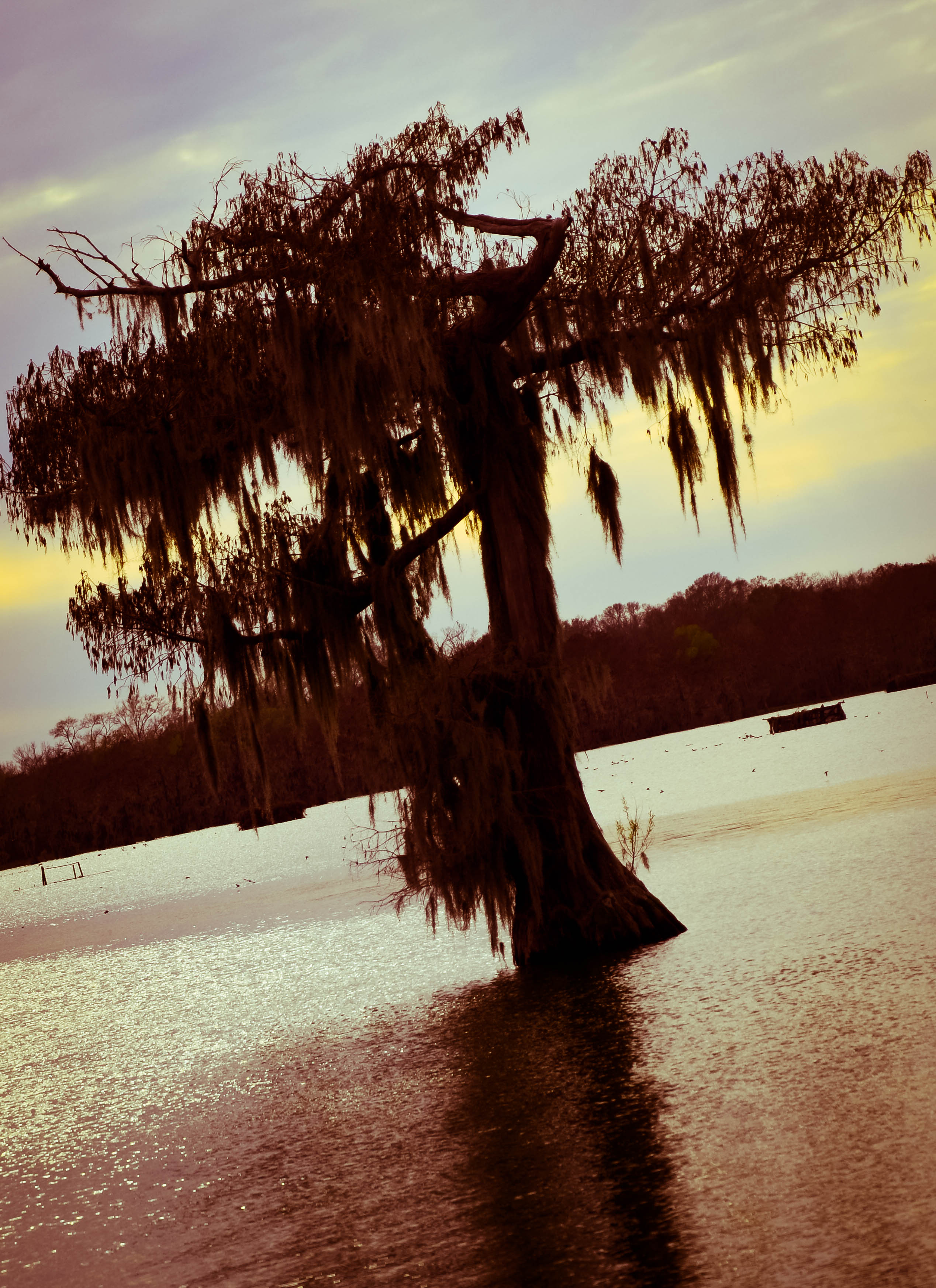
Send in your Basin Pics!
Let us know if you have an upcoming event to promote the Basin!
|
Checking the water:
The information below is obtained from the USGS and the U.S. Army Corps of Engineers, and has been compiled by DNR into this format to allow a quick look at information pertinent to the Atchafalaya Basin. Click here for current weather conditions and water levels.
Data is for 6/30/2016
ALL STAGE FORECASTS INCLUDE 24 HOURS OF FUTURE RAINFALL.
Ohio River at Cairo
Location: Southernmost gauge on the Ohio River in Illinois Reading significance - used to forecast rises on the Mississippi. Lag time, 4 to 6 days.
Flood Stage: 40'
Stage: 28.8'
24 hour change: +0.1'
Forecast: expect to FALL to 19.6' by 7/05
Mississippi River, just south of ORCS, at Red River Landing
Reading: Mississippi River south of ORCS, after the diversion into the Atchafalaya
Flood Stage: 48'
Stage: 33.5'
24 hour change: -0.3'
Forecast: expect to RISE to 35.1' by 7/05
Mississippi River at Baton Rouge
Flood Stage: 35'
Stage: 17.8'
24 hour change: -0.1'
Forecast: expect to RISE to 18.8' by 7/05
Mississippi River at New Orleans
Flood Stage: 17'
Stage: 5.5'
24 hour change: -0.1'
Forecast: expect to RISE to 5.6' by 7/05
Atchafalaya River, just south of ORCS, at Simmesport
Reading: The combined latitudinal flows of the Red, Black, Ouachita, and ORCS flow from the Mississippi
Flood Stage: 47'
Stage: 13.0'
Forecast: expect to RISE to 13.9' by 7/05
Atchafalaya River at Melville
Flood Stage: 34'
Stage: 9.1'
Forecast: expect to RISE to 9.7' by 7/05
Atchafalaya River at Krotz Springs
Flood Stage: 29'
Stage: 8.1'
Forecast: expect to RISE to 8.4' by 7/05
Atchafalaya River above Butte Larose
Flood Stage: 20'
Stage: 6.5'
Forecast: expect to REMAIN at 6.5' through 7/05
Atchafalaya River at Bayou Sorrell Locks on the GIWW
Flood Stage: 12'
Stage: 5.0'
Forecast: expect to REMAIN at 5.0' through 7/05
Atchafalaya at Millet (Myette) Point
Flood Stage: 15'
Stage: 4.0'
Forecast: expect to REMAIN at 4.0' through 7/05
Atchafalaya River at Morgan City
Flood Stage: 6'
Stage: 3.1'
Forecast: expect to FALL to 3.0' by 7/05
Lower Grand River at Bayou Sorrel
Stage: 5.49'
Bayou Courtableau
Stage: 18.39'
Middle Fork, Bayou Long
Stage: 4.23'
Arm of Grand Lake near Crook Chene
Stage: 8.31'
Pontoon Bridge at Butte Larose
Stage: 4.93'
Lake Pelba at I-10, Henderson
Stage: 9.09'
Little Alabama Bayou at Sherbourne
Stage: 17.33
Bayou La Rompe at Lake Long
Stage: 7.05'
Keelboat Pass below Lake Chicot
Stage: 4.56'

|