
Sulphur Mines Investigation
MAIN MENU:
This page was updated on 08/20/2025 at 5:58:20 PM.
Subsidence Reports
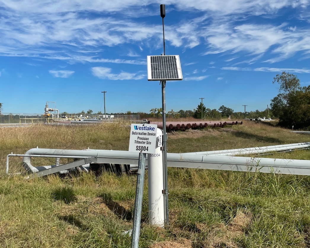
Operators of salt caverns in Louisiana submit yearly subsidence reports to LDENR as a compliance requirement by the state. As part of an enhanced program to monitor ground subsidence at Sulphur Mines, Westlake was ordered by LDENR to provide more frequent updates and reports since January 2023.
The method used is InSAR, which employs satellites to approximate relative ground movement over time. Currently, one satellite (SNT) provides data every 12 days, and one satellite constellation (TSX/PAZ) provides data every 4 and 7 days, respectively.
2022 Annual InSAR Survey of Ground Displacement and Subsidence Monitoring Report - received April 21, 2023
2023 Annual InSAR Survey of Ground Displacement and Subsidence Monitoring Report - received April 30, 2024
TRE-Altimara Response Regarded Reprocessing of Data and New Baseline - received January 29, 2024
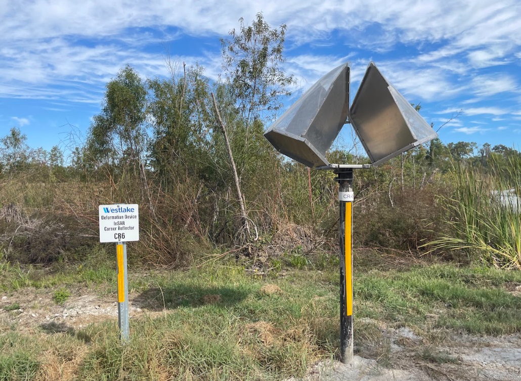
InSAR corner reflector station
| Tiltmeter/GNSS Reports |
Status Update (memo) - received July 1, 2024
| Deformation Reports |
June 2024 - received July 18, 2024
July 2024 - received August 13, 2024
August 2024 - received September 13, 2024
September 2024 - received October 16, 2024
October 2024 - recieved November 15, 2024
November 2024 - received December 13, 2024
December 2024 - received January 15, 2025
January 2025 - received February 14, 2025
February 2025 - received March 14, 2025
March 2025 - received April 15, 2025
April 2025 - received May 15, 2025
May 2025 - received June 16, 2025
June 2025 - received July 21, 2025
July 2025 - received August 15, 2025
| InSAR Satellite Updates |
Previous years:
2023 Reports
2024 Reports
2025
TSX-PAZ
SNT
January 2, 2025
January 14, 2025
January 26, 2025 - statement of no data acquisition
February 7, 2025
February 19, 2025
March 3, 2025
March 15, 2025
March 27, 2025
April 8, 2025
- Oil & Gas
- Energy
- Mineral Resources
- Conservation
- Coastal Management
-
Oil Spill Coordinator's Office
- Oil Spill Coordinator's Office Home
- Oil Spill Response
- Natural Resource Damage Assessment (NRDA)
- The Louisiana Regional Restoration Planning Program (RRP Program)
- Louisiana Regional Restoration Planning Program (RRP Program) Administrative Record
- Education and Outreach
- Acts, Regulations, Guidelines, & Plans
- About DENR
- Offices
- Media Center
- Contact Us
- Information Portals
- Featured Services